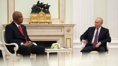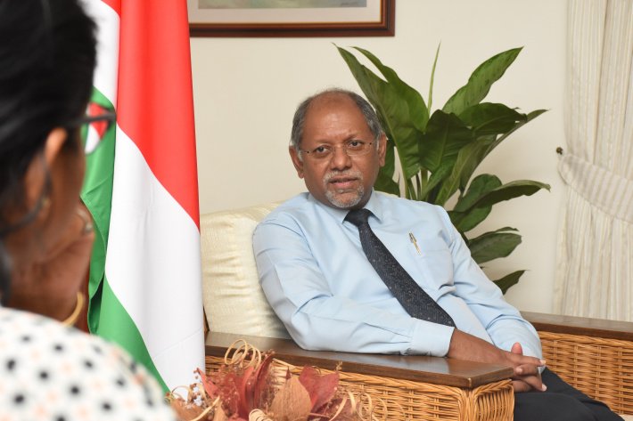
VICTORIA, Seychelles — In a major step towards enhancing maritime safety and development, the United Kingdom Hydrographic Office (UKHO) has officially handed over a significant amount of hydrographic data to the Seychelles government. The ceremony took place on Wednesday evening at Ochan Restaurant, Eden Island, with Vice-President Ahmed Afif accepting the data and a token of appreciation on behalf of the government. The data, gathered through an extensive survey conducted last year around Mahé, Praslin, La Digue and the key routes between the islands, is part of a £1.7 million project funded by the UKHO.
The project included high-resolution mapping of 650 square kilometres of Seychelles’ waters and satellite imaging of the country’s entire 1.3 million square kilometre Exclusive Economic Zone. As the Primary Charting Authority for Seychelles, the UKHO will use the data to update navigational charts, ensuring safer maritime navigation. Revenue from the sale of these charts is shared with Seychelles. The survey revealed 87 previously unknown shipwrecks, alongside crucial information on underwater topography, navigational hazards, and seabed features.
British High Commissioner Jeff Glekin reaffirmed the UK’s commitment to supporting Seychelles, through the partnership anchored in the two nations’ common connection to the sea. ‘Data today, more than ever, is the underlying currency of economies. Having access to maritime data opens up opportunities for exploration and for other actors, in a holistic way to come in and explore that data,’ he stated. The UKHO has also provided Seychelles with two tide gauges worth over £300,000, installed on Mahé and Praslin. A dedicated committee will be established to determine the responsible authority for managing and maintaining these gauges.